About
We sell the intelligence.
Granularity Labs turns aerial imagery into measurements, condition scores and repair priorities. Our flagship, Ground Truth, does this for commercial property portfolios.
We also build models for teams with their own imagery, and we are extending the same system to farmland and, later, to digital twins.
What exists today
A working pipeline
Capture, surface mapping, condition scores and change detection for commercial property, delivered as GeoJSON, CSV and PDF.
Ground Truth
The platform: portfolio map, condition detail, work orders and capital plans.
A first dock
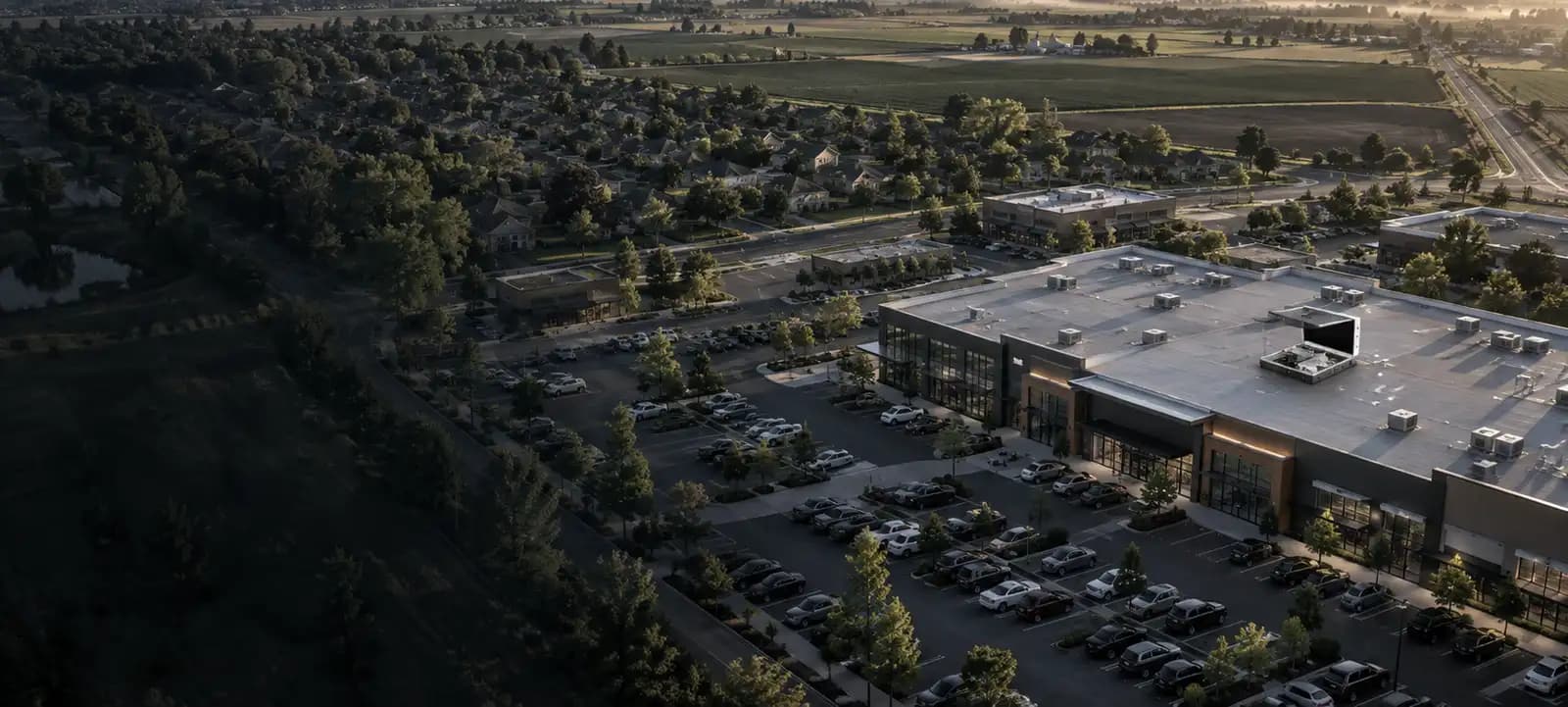
Our first drone dock runs on a shopping center today. The network beyond it is planned, not built.
A consulting practice
Models built, tested and hosted for teams with their own imagery.
What is next
Farmland monitoring is in development with growers and advisers. Digital twins are where the record is heading. We describe both in the future tense on purpose.
Vision
A network of drone docks.
Our first dock, a rooftop station where the drone launches, lands and recharges, runs on a shopping center today. More would follow on commercial rooftops and farms, each one serving every customer nearby.
Anyone can buy a drone. Sites, permissions and years of history are much harder to copy.
Kept long enough, the record becomes a digital twin: the site as it was, as it is, and where it's heading.
Where this goes